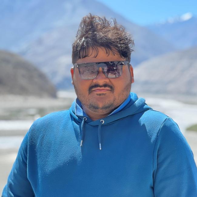
Sai Ganesh Veeravalli

Forskning
Current Research
As a doctoral student at Karlstad University, my research focuses on mapping and modelling deprived urban areas (DUAs) as part of the DEPRIMAP project. This interdisciplinary work integrates geospatial data, morphometric analysis, and machine learning to examine urban morphology, vulnerability, and risks. The aim is to develop scalable methodologies for identifying and analyzing DUAs, supporting sustainable urban development and resilience planning. My work also explores the role of urban form in influencing socio-economic and environmental risks, contributing to a better understanding of urban deprivation across diverse contexts.
Previous Research
Prior to my current role, I worked on a variety of geospatial projects with a focus on coastal environments, wildlife conservation and tool development. This included analyzing morphological changes in sand dunes using UAV data, shoreline change assessments, wildlife-linear infrastructure conflict mitigation, species monitoring, evaluating the effectiveness of coastal protection structures, and preparing shoreline management plans (SMPs). I also contributed to the development of geospatial tools for assessing coastal vulnerability and high-risk areas due to damaged protection structures. These projects emphasized the application of geospatial technologies in environmental management and decision-making, laying a strong foundation for my current research.
Undervisning
I am involved in teaching at Karlstad University, particularly in the field of geomatics. My teaching responsibilities include delivering lectures and practical sessions on geospatial technologies, with a recent focus on UAVs and their applications. In my latest lecture, I introduced students to drone technology, covering topics such as flight planning, data collection, and processing using ArcGIS Drone2Map.
NGGA29 Fjärranalys och digital fotogrammetri 7.5 HP
NGGB48 Digital fotogrammetri och 3D-visualisering 7.5 HP
Introduktion till Python för geomatiker 7.5 HP
Samverkan
I actively collaborate with international networks and organizations to advance research on urban deprivation and geospatial analysis. As part of the IDEAMAPS Network, I contribute to global efforts in developing innovative & practical frameworks for mapping deprived urban areas, supporting evidence-based planning and policy. I am also engaged with UN-Habitat colleagues, working towards integrating geospatial methodologies into sustainable urban development and resilience-building strategies. Additionally, I collaborate with a diverse network of researchers and practitioners worldwide who are focused on deprivation mapping, facilitating knowledge exchange and fostering interdisciplinary approaches to address urban challenges. This collaborative network includes colleagues and organizations from Sweden, Germany, the Netherlands, the USA, the UK, Scotland, Nigeria, Kenya, Argentina and Spain.
Utvalda publikationer
Murali, M.G., Veeravalli, S.G., Alluri, S.K.R. et al. Statewide field assessment of coastal protection structures in Kerala, India: structural and functional insights. J Coast Conserv 29, 39 (2025). https://doi.org/10.1007/s11852-025-01124-y
Veeravalli, S. G., Haas, J., Friesen, J., and Georganos, S.: Understanding Informal Settlement Transformation through Google’s 2.5D Dataset and Street View based Validation, Int. Arch. Photogramm. Remote Sens. Spatial Inf. Sci., XLVIII-M-7-2025, 245–251, https://doi.org/10.5194/isprs-archives-XLVIII-M-7-2025-245-2025, 2025.
Veeravalli, S. G., Murali, M. G., Subburaj, S., Alluri, S. K. R., Ramanathan, V., & Murthy, M. R. (2025). Integrating coastal protection structures into vulnerability assessments: A case study from Kerala, India. Ocean & Coastal Management, 266, 107670.
Veeravalli, S. G., Chereni, S., Sliuzas, R. V., Flacke, J., & Maarseveen, M. (2022). Factors influencing flood damage mitigation among micro and small businesses in Kampala, Uganda. International Journal of Disaster Risk Reduction, 103315.
S. G. Veeravalli, S. Balaganesh, D. Silamban, S. K. R. Alluri, V. Ramanathan and U. S. Panda, "UAV based Topographic Survey of Inaccessible Remote Terrains," 2023 IEEE India Geoscience and Remote Sensing Symposium (InGARSS), Bangalore, India, 2023, pp. 1-4, doi: 10.1109/InGARSS59135.2023.10490411
Sai Ganesh Veeravalli, Noujas V., Satya Kiran Raju A., Ramanathan V., and Murthy M. V. R. "An integrated GIS methodology for identifying high-risk areas due to damaged coastal protection structures: a case study of Kollam district in Kerala, India", Proc. SPIE 12977, Eighth Geoinformation Science Symposium 2023: Geoinformation Science for Sustainable Planet, 1297714 (29 January 2024); https://doi.org/10.1117/12.3009595
Reshma K. N., Jeffy Soly John, Sai Ganesh Veeravalli, Mridula G. M., Satya Kiran Raju Alluri, Ramanathan V., and Ramana Murthy M. V. "Remote sensing-based assessment of Varkala cliff retreat in Kerala, India", Proc. SPIE 12977, Eighth Geoinformation Science Symposium 2023: Geoinformation Science for Sustainable Planet, 129771L (29 January 2024); https://doi.org/10.1117/12.3009585
Sai Ganesh Veeravalli "Assessing the impact of vegetation and its spatial configuration on land surface temperature in selected Indian cities", Proc. SPIE 12977, Eighth Geoinformation Science Symposium 2023: Geoinformation Science for Sustainable Planet, 129771N (29 January 2024); https://doi.org/10.1117/12.3009564
Publikationer
- Sai Ganesh Veeravalli - 2025
- Sai Ganesh Veeravalli, Florencio Campomanes V, Sebastian Hafner, Stefanos Georganos, Monika Kuffer, John Friesen, Dana R Thomson, Robert Ndugwa, Dennis Mwaniki, Angela Abascal, Peter Elias, Tobi Eniolu Morakinyo, Julio Pedrassoli, Gabriel de Oliveira, Anthony Boanada-Fuchs, Boris Zerjav, Juan Manuel D'Attoli - 2025
- Sai Ganesh Veeravalli, Jan Haas, John Friesen, Stefanos Georganos - 2025

