

Geomatics
Geomatics
Geomatics at Karlstad University combines technology, science, and hands-on learning to map and analyse our world. Through our two bachelor's programmes in Surveying and Technology and Geographical IT & Land Surveying and Cartography, students gain expertise in geodesy, GIS, cartography, remote sensing, and programming. With strong links to industry, internships, and applied projects, our graduates are well-prepared for careers in surveying, GIS, and geospatial innovation - contributing to sustainable societal development in Sweden and beyond.
Discover Geomatics at Karlstad University
Geomatics at Karlstad University blends technology, science, and practical learning to analyse and map our world. From Surveying and Geodesy over Geographic Information Systems (GIS), Cartography and Remote Sensing to Programming and Machine Learning, our programmes equip students with essential skills to address real-world challenges and contribute to a sustainable societal development.
Explore our 3-year Programmes
A. Bachelor of Engineering in Surveying Technology and Geographical IT (180 ECTS Credits)
This programme combines geodesy, GIS, programming, and data analysis with hands-on experience and a final degree project. Students gain practical knowledge in:
- Geographic Information Systems (GIS)
- Remote sensing and photogrammetry
- Programming and data management
- Cartography
- Geodesy and surveying techniques
Key highlights
- Strong industry focus with internships and practical projects.
- Career paths: GIS-specialist/analyst, GIS-developer, Project manager.
Interested in the programme? Know more details here: https://www.kau.se/en/education/programmes-and-courses/programmes/TGLIT
B. Bachelor's Programme in Land Surveying and Cartography (180 ECTS Credits)
This programme focuses on cartographic and measurement techniques, project management, and visualisation. Key areas of learning include:
- Land surveying and geodetic measurement
- Map production and cartographic design
- Project management for surveying and mapping
- Geographic Information Systems (GIS)
Key highlights
- Practical learning through internships and degree projects.
- Career paths: Surveyor, Cartographer, Project manager.
Interested in the programme? Know more details here: https://www.kau.se/en/education/programmes-and-courses/programmes/TGLMK
Core Areas of Learning
Our programmes cover a broad range of subjects to prepare students for diverse careers in geomatics:
- Geodesy and Surveying: Techniques for accurate measurement and mapping.
- GIS and Spatial Analysis: Manage and analyse geospatial data for decision-making.
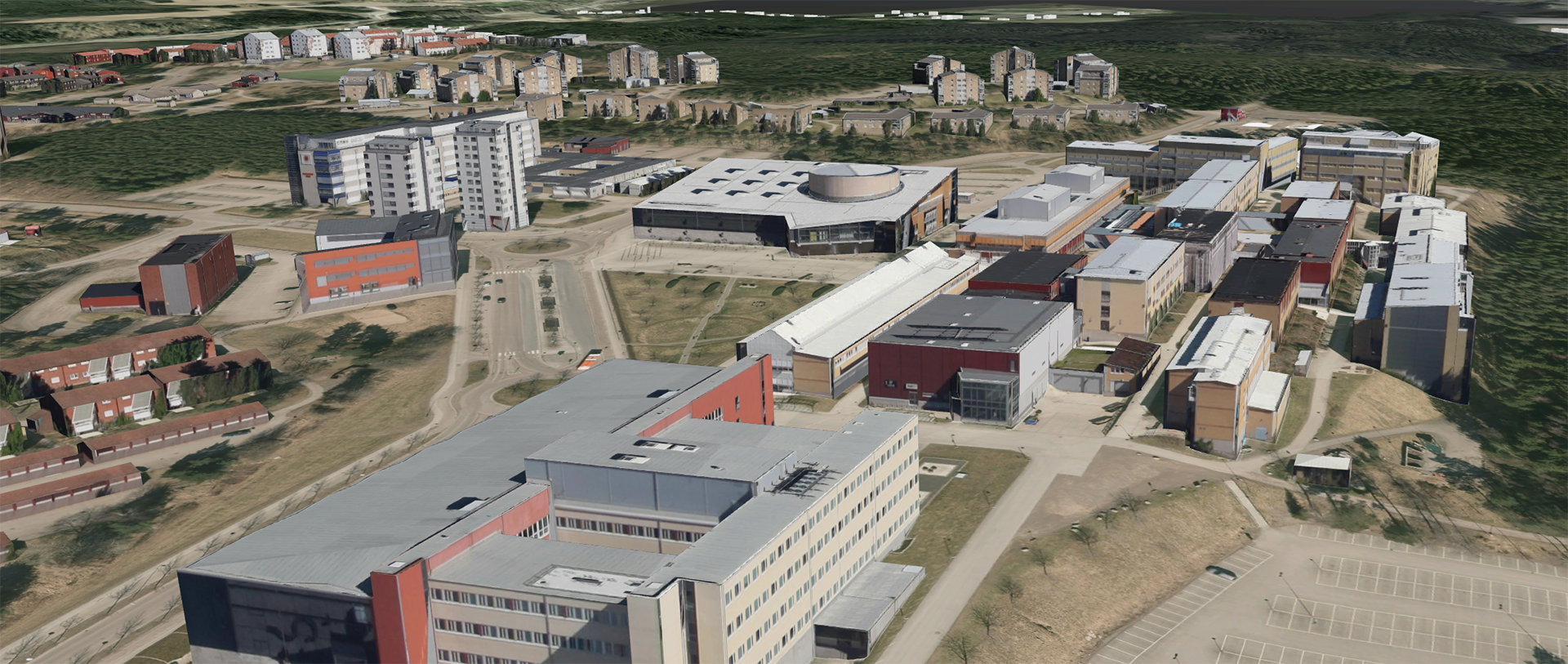
- Remote Sensing and Photogrammetry: Capture, process and analyse UAV, aerial and satellite imagery.
- Cartography and Visualisation: Design maps and 3D models for communication and planning.
- Programming and Data Processing: Automating workflows and managing spatial databases.
- Fieldwork and Practical Skills: Hands-on experience with state-of-the-art geospatial tools.
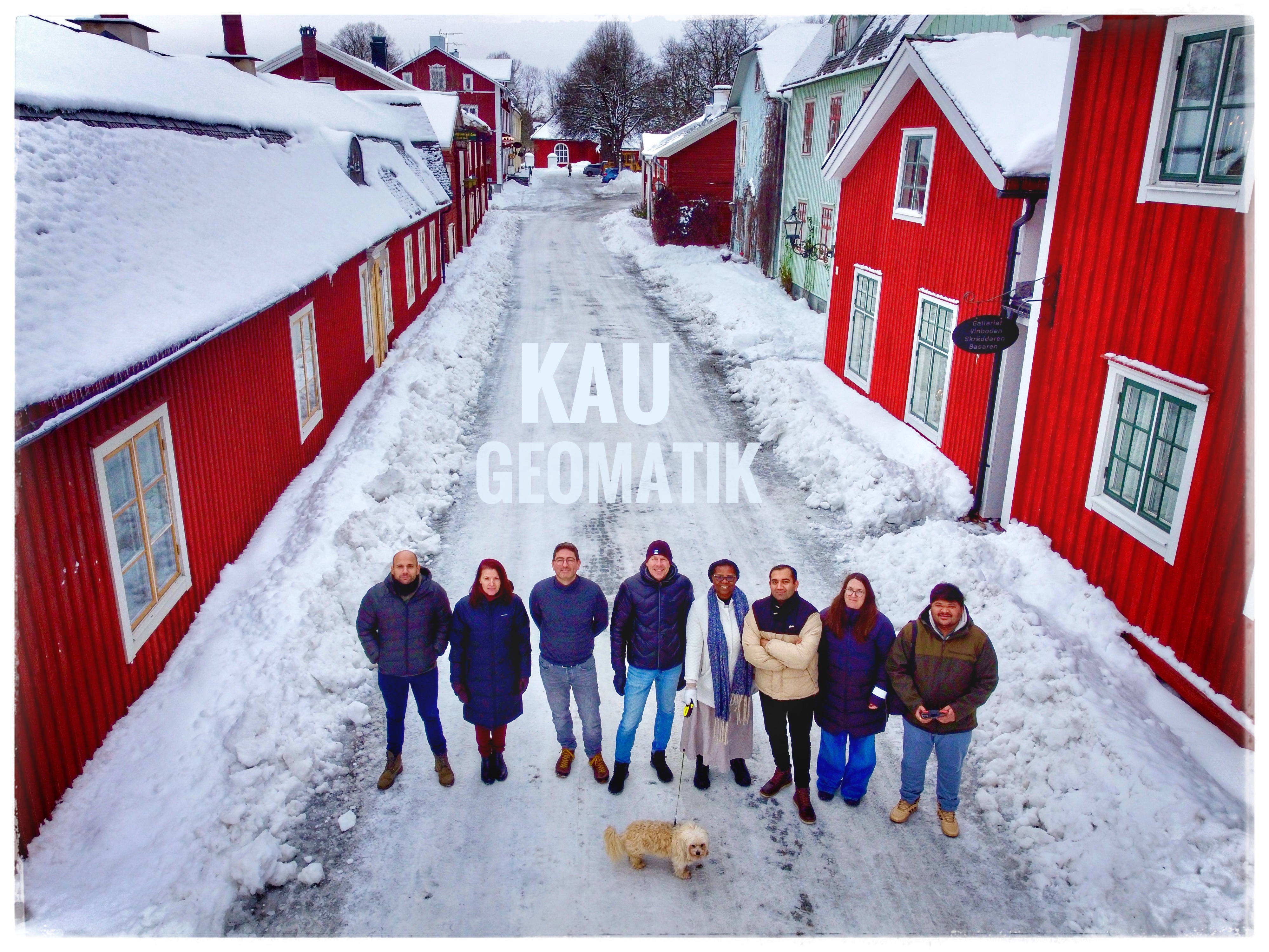
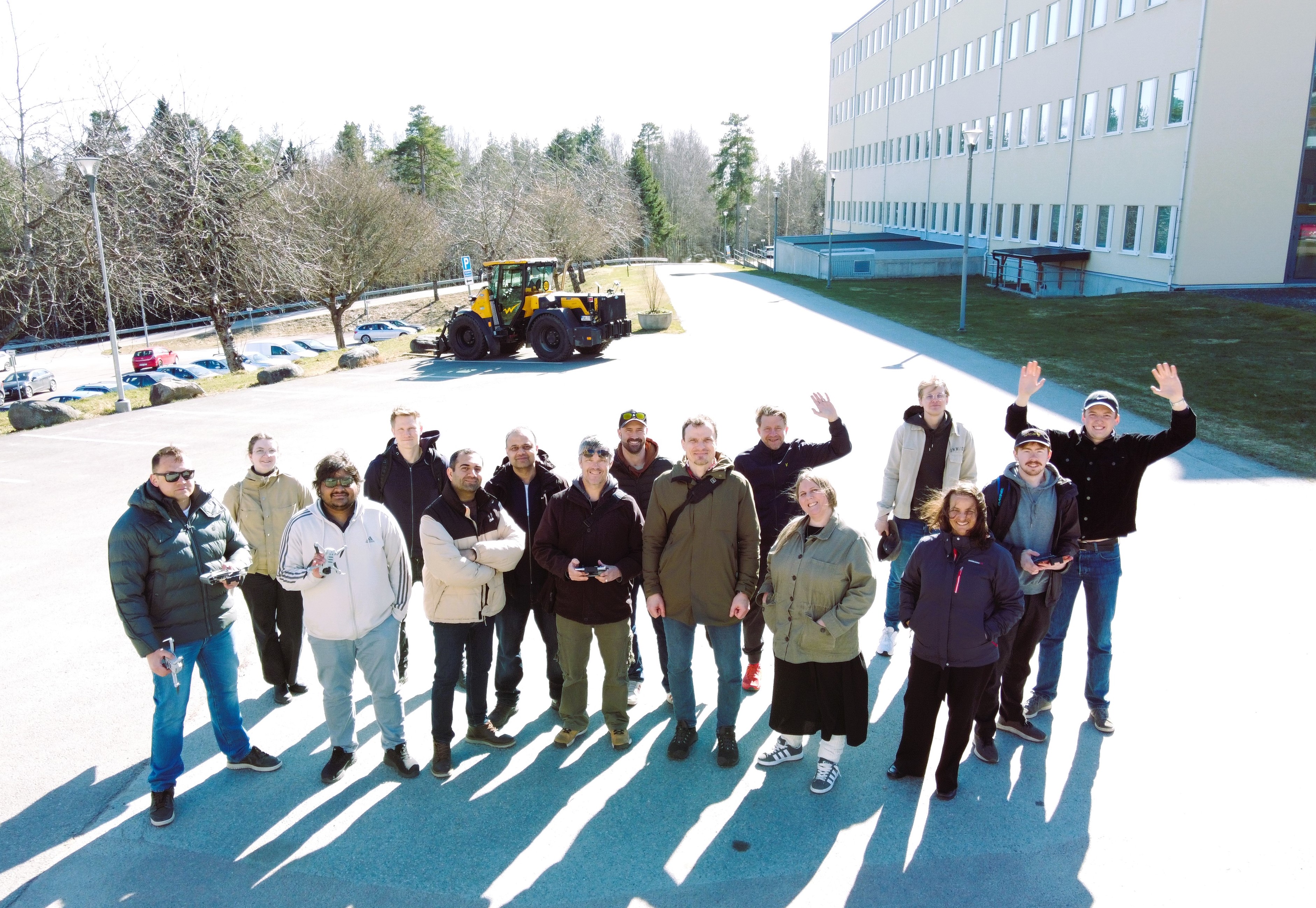
Learn by Doing - Internships and Fieldwork
We emphasise practical learning through real-world experiences:
- Fieldwork: Use of state-of-the-art surveying tools, drones, and geospatial software.
- Internships: Collaboration with companies, municipalities, authorities and education/research.
- Degree Projects: Solve industry-relevant problems in surveying, GIS, or remote sensing.
Our students graduate with the skills and confidence to contribute to professional projects from day one.
Your Future in Geomatics
Graduates of our geomatics programmes are desirable across various sectors:
- Public sector: Surveying and national agencies, municipalities, and county administrative boards.
- Private sector: Companies within the GIS/GIT, surveying, engineering, IT and data management sectors.
- Research and Development: Universities, research institutes and international organisations.
Examples of Career Roles:
- GIS-engineer/specialist
- Land surveyor
- Cartographer
- Project manager
- System developer
- UAV-pilot/specialist
Research at Geomatics
The NEOGEO research lab at Geomatics, Karlstad University, is engaged in cutting-edge research funded by national and international organisations. Our projects focus on geospatial technologies/AI, remote sensing, climate monitoring, and sustainable development. More details can be found here: https://www.linkedin.com/company/neogeo-karlstaduniversity
Why Study Geomatics with Us?
- Industry-oriented education with practical skills.
- State-of-the-art tools and software in geospatial technologies.
- Hands-on learning through internships and field projects.
- Career-focused programs with strong industry relevance.
Start Your Journey Today
Ready to shape the future of mapping, analysis, and geospatial innovation? Learn more about our programs and become part of the Geomatics community at Karlstad University.
Links:
- Bachelor of Engineering in Surveying Technology and Geographical IT details: https://www.kau.se/en/education/programmes-and-courses/programmes/TGLIT
- Bachelor's Programme in Land Surveying and Cartography details: https://www.kau.se/en/education/programmes-and-courses/programmes/TGLMK
- Research at Geomatics: https://www.linkedin.com/company/neogeo-karlstaduniversity